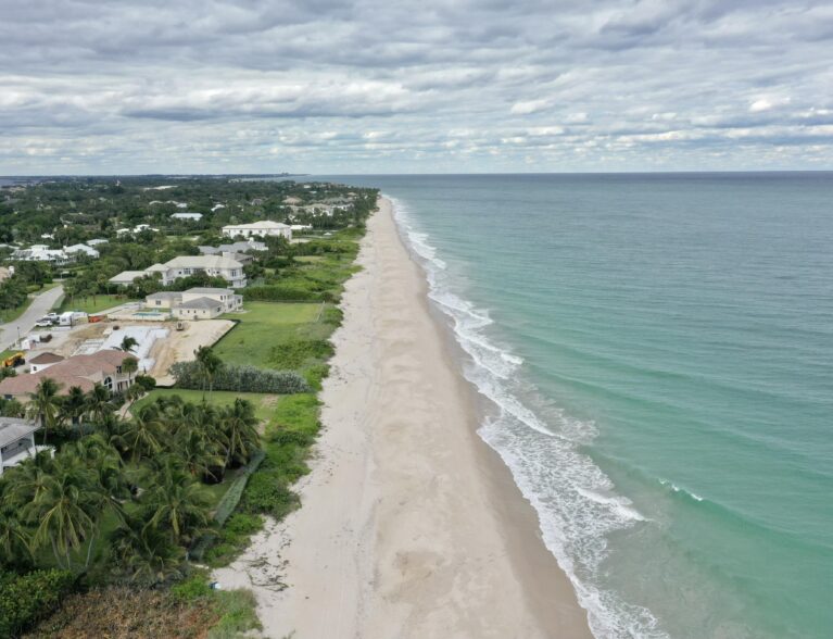
INDIAN RIVER COUNTY — Strong gusty winds could form waves more than 10 feet tall at county beaches this week, leading to a high risk of dangerous rip currents, meteorologists warn. The heaviest gusts, from 35-to-45 mph, will be felt Thursday afternoon and evening, followed by a cold front blowing through the county overnight Sunday.
“There could be 8-to-12-foot tall waves on Thursday and Friday,” said Jared Heil, a meteorologist with the National Weather Service in Melbourne. “Beachgoers should stay out of the surf. Those operating small craft should reconsider going out in the water. It will be dangerous.”
Heil said the risk of rip currents will remain high into the weekend.
A high surf advisory will take effect at 10 p.m. Wednesday and last until Saturday, according to the National Weather Service in Melbourne. A coastal flood watch will be active at 4 a.m. Thursday and last until Saturday.
“The winds will drive up the surf. These will be higher than normal water levels,” Heil said. “We’re expecting large, breaking waves.”
Heil said the high surf could cause minor coastal flooding at the county beaches during the mid-to-late morning hours. Chances for erosion will be minor for Indian River County, which has been battered in recent years by strong coastal storms.
The powerful winds led weather officials to issue a small craft advisory on Wednesday.
More rain will sweep through Indian River County over the weekend. There will be a 70-to-80 percent chance of showers on Saturday and a 60 percent chance on Sunday, meteorologists said.
A cold front will pass through Sunday.
“The cooler air will come overnight,” Heil said.
Monday will have a high temperature near the upper 60s, which will dip to the mid-to-upper 50s at night, Heil said. Tuesday will have a high near the upper 60s and a low near the mid-50s.