
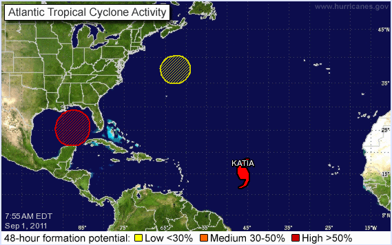
Tropical Storm Katia has been upgraded to a hurricane and could become the second major storm this hurricane season by early Sunday as it approaches Puerto Rico.
The storm is still too far out to sea to know whether it will impact Florida, though some spaghetti models do show it continuing on a path toward the state. Other models, though, show the storm turning north and staying away from land.
In the meantime, another disturbance has formed in the Gulf of Mexico and has a 70 percent chance of becoming a tropical cyclone in the next 48 hours.
Currently, the disturbance has not yet become a tropical depression – the precursor to a tropical storm.
Many models show the storm heading west into Texas or northwest into Louisiana.
The disturbance consists of a large area of cloudiness and thunderstorms and gusty winds mainly on its east side.
As for Hurricane Katia, the storm is about 1,000 miles east of the Leeward Islands with maximum sustained winds of 75 mph – the minimum for a Category 1 storm. Hurricane force winds extend outward from the storm up to 25 miles from the center and tropical storm force winds extend out up to 125 miles.
The hurricane is moving west at 20 mph but is expected to turn west-northwest and decrease in travel speed during the next couple days.
There are no coastal watches or warnings in effect at this time.


