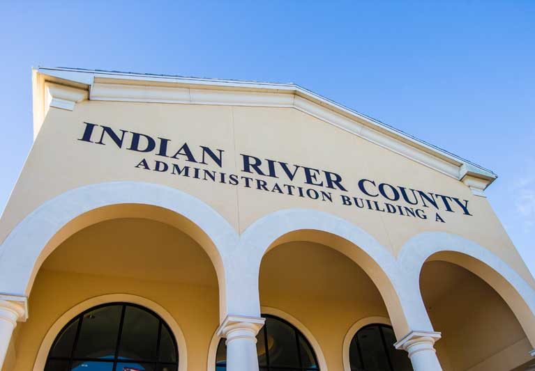
Impact on the natural environment was the No. 1 worry of 1,126 people responding to a county survey about expanding the Urban Service Boundary, with traffic congestion and stress on infrastructure rounding out the top three concerns as the county is slated to add more than 40,000 people by 2050.
Representatives from the Clean Water Coalition of Indian River County, Pelican Island Audubon Society, Indian River Neighborhood Association, and Indian River Land Trust met with all five county commissioners, one at a time, in sequential 30-minute sessions on July 1 to discuss these issues directly with decision makers.
“We’re going to grow regardless of how much anyone might want to stop it,” said Dan Lamson, executive director of Indian River Neighborhood Association (IRNA). “We definitely need to address water supply issues before we address a wide-scale move of the Urban Service Boundary.”
The Urban Service Boundary establishes where facilities such as water and sewer lines are constructed and where development is encouraged.
Overall, at the July 1 meetings, the commissioners were receptive, Lamson said. Except for some places where the border could be adjusted slightly, such as near the new Oslo Road I-95 interchange, the commissioners didn’t seem eager to greatly expand the Urban Services area, he said.
“Conservation is bone-deep in our area. People come here because of the outdoors. It’s wonderful, it’s such a part of our community. As we continue to grow, having that foundation will benefit and protect our environment,” Lamson said.
Whether the boundary is pushed westward, or extended into two pockets of undeveloped land closer to already congested roads, more people means more demand for natural resources such as fresh water, and greater capacity to treat sewage and stormwater runoff, which also impact the natural environment and particularly the Indian River Lagoon.
Most drinking water in Indian River County comes from two main aquifers. The Surficial Aquifer, at a maximum depth of about 50 feet, provides up to two-thirds of Vero Beach’s water. It is vulnerable to surface activities, such as landfills, stormwater and fertilizer. Over-extraction of water from the Surficial Aquifer can lead to saltwater intrusion.
The Upper Floridan Aquifer is deeper and covers approximately 100,000 square miles of the southeastern United States. Both the city of Vero Beach and the county tap into this water supply, but it requires significant treatment due to its high chlorine content.
Municipalities will need to consider new and better methods for recycling water, Lamson said.
One alternative to expanding the Urban Service Boundary is increasing density in certain areas. County residents may need to be educated on the subject, however, Lamson said.
“A lot of people think of density as skyscrapers in downtown Vero Beach, but increasing density can be as simple as adding one or two houses per acre in some areas to create additional workforce housing or low-income housing, without expanding the Urban Service Boundary,” Lamson said.
Other ideas include allowing more townhomes and two- to three-story apartments, along with mixed-use neighborhoods incorporating shops and restaurants on the ground level with apartments above, Lamson said. “There are all sorts of creative ideas that would increase our density a bit without changing the character of our community. There are areas where compromises are possible, but if we do move the boundary, it needs to be targeted and reasoned. That’s our philosophy – managing the growth sustainably.”


