
Satellite Beach officials – despite a decade of being ridiculed for quackery – have plodded on studying impacts of sea level rise from global climate change, and their initial estimates predict a good portion of the city to be inundated by the end of the century.
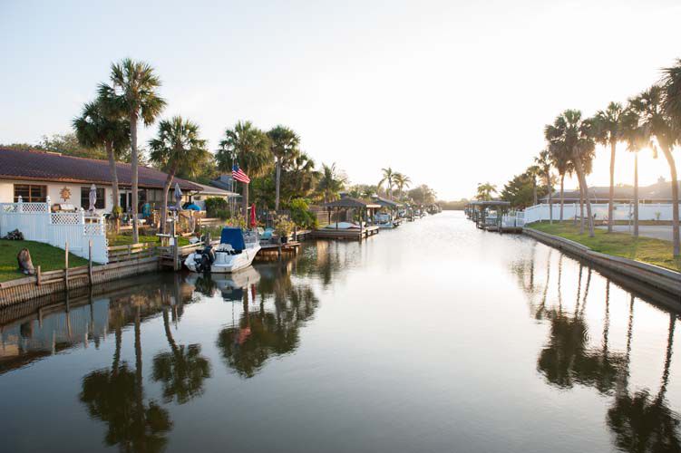
Some estimates expect sea level to rise as much as six feet by the end of the century, causing major impacts on coastal cities. The waters would come, unexpectedly, not from the ocean, but from tidal fluctuations in the Indian River Lagoon and the Banana River.
Once laughed at, the city of 10,000 residents – the only Brevard community to extensively study the issue – is now being regarded in Florida as an example of best “adaptation” practices. The next step for Satellite is to incorporate the findings into its long-range road and infrastructure planning, and potentially into building codes.
The sea level rise ball got rolling for Satellite Beach in 2007 when resident John Fergus attended the Space Coast Climate Change Initiative at Brevard Community College. In 2009, the City was invited to participate in a federal grant to assess the City’s vulnerability to rising sea levels. The study used existing Light Detecting and Ranging (LIDAR) survey data collected by the state to create software to map elevations in the City which later hinted at the concerns of flooding from the west.
Since then Fergus and Ken Lindeman, a professor at Florida Tech, have been champions of the cause, continuing to prepare the local community for the likely impacts of sea level rise and providing technical resources. They say South Florida officials already facing flooding problems did not have the planning data that is available today.
“Every time we do an analysis it gets worse,’’ Satellite Beach City Manager Courtney Barker said, describing sea level rise as a “long emergency” requiring extensive planning and consideration of adaptation options, a process city officials have been asked to describe at several state meetings on sea level rise.
For now, the city is studying potential code changes, and has incorporated mentions of sea level rise in the Satellite Beach Sustainability Action Plan recently approved by City Council.
Eventually, Lindeman said, roads will need to be raised, or they will be impassable for increasingly long periods due to standing water which also could damage the base of the roadway. “Whichever coastal road is the most floodable will become the next weak link,’’ he said. For example, roads like Jackson Avenue, the entrance to three major schools which already floods with every heavy rain event, will need to be looked at.
Barker said much of the resistance to sea-level-rise studies is based on a desire to maintain the status quo and avoid the cost of preparation. “When people are scared, their first reaction is sticking their head in the sand and saying it’s not happening. The hard part is saying ‘OK, let’s sit down and figure out how to deal with it,’’’ she said. “I would say that we have probably done more for climate change education than any other community in Florida.’’
Satellite Beach may not be seeing direct impacts yet, and therefore has not had to install pumps and construct seawalls to correct tidal flooding problems. Stetson University researcher Jason Evans, who is conducting a two-year Florida Sea Grant flood risk study to assist Satellite Beach, said the city is not waiting until the problems are glaringly obvious – and potentially much more expensive to address – before taking prudent action.
“I use Satellite Beach as a model of good planning when I discuss sea level rise issues with other coastal communities. Satellite Beach is much less vulnerable precisely because the city has been so proactive in its efforts to understand these rises and to begin making effective investments and preparations,’’ Evans said.


