
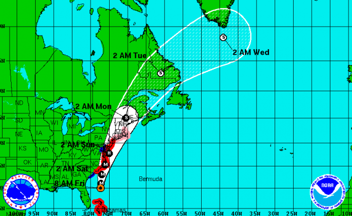
INDIAN RIVER COUNTY — as Hurricane Irene continues to push north off Florida’s coast and farther from Indian River County, weather is expected to improve.
The storm has been downgraded to a Category 2 hurricane but, due to its massive size, wind and rain bands continue to impact the treasure coast.
Tropical storm conditions over the marine waters will diminish gradually, even south of Sebastian Inlet.
Through Noon, periods of sustained winds of 30 to 35 knots with higher gusts will continue over the waters out to 20 nautical miles with sustained winds 35 to 40 knots with higher gusts from 20 to 60 nautical miles offshore.
Periods of Tropical Storm force wind conditions will become less frequent south of Sebastian Inlet as the morning progresses.
Highest seas have already peaked but will still be up to 15 to 18 feet within 20 nautical miles of the coast and 20 to 25 feet between 20 to 60 nautical miles.
Over land and near the coast, rain squalls will continue to rotate around the western flanks of Hurricane Irene to bring local gusts of 35 to 45 mph along with brief periods of heavy rain.
Later today, sustained winds will diminish gradually from south to north as the hurricane pulls further away. By early afternoon, the Tropical Storm warnings over the marine area will likely be dropped. Seas will be slower to subside.
After the Tropical Storm warnings are dropped, small craft advisories will be in effect.
For the coastal counties, a high surf advisory, coastal flood advisory, and wind advisory will remain in effect for most of the day.


